Indian Rock Shelter Trailhead
Contact and Address
| State: | Connecticut |
|---|---|
| Address: | 76 Lake Dr, Madison, CT 06443 |
| Zip code: | 06443 |
| Phone: | (475) 221-5758 |
Map Location
Indian Rock Shelter Trailhead is located in New Haven County of Connecticut state. On the street of Lake Drive and street number is 76. To communicate or ask something with the place, the Phone number is (475) 221-5758.
The coordinates that you can use in navigation applications to get to find Indian Rock Shelter Trailhead quickly are 41.3735278 ,-72.632927
Customer Ratings and Reviews
-
Andrzej
(February 20, 2023, 7:10 pm)Very unique place to hike, and one of my favorite in CT. Indian Rock is awesome and really big. Pictures didn't do the justice.
You have to see this rock formation to appreciate. The trail is marked clockwise and this is the best way to hike ther. -
Blue Bleeder CT
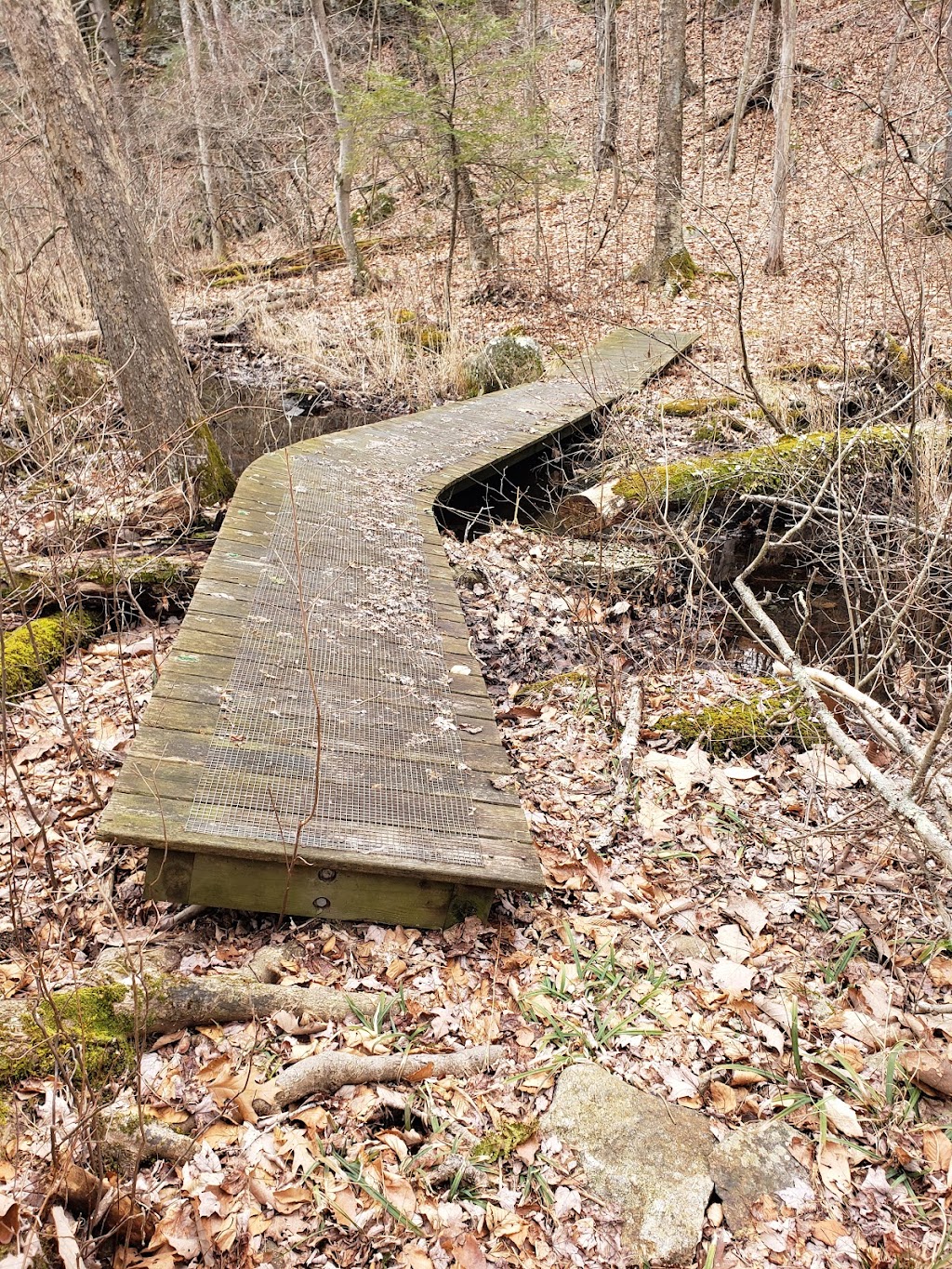
(May 15, 2021, 1:27 pm)Come and enjoy this beautiful and historic trail. The beginning portion that used to be quite swampy now has a brand new boardwalk installed over the muckie bits. Great place to bring the kids and have them learn about native American culture without them realizing they're even doing it!
-
M QM
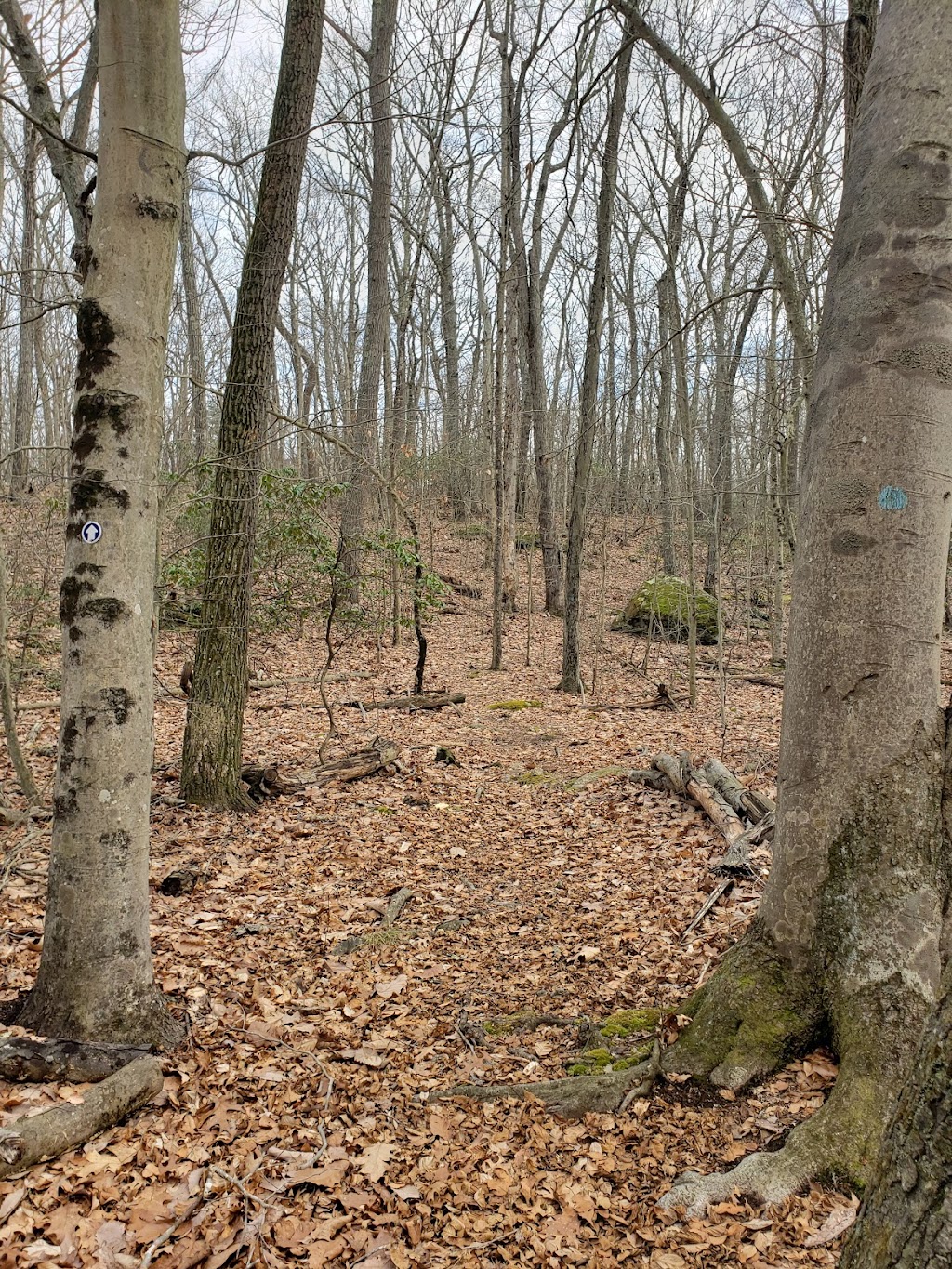
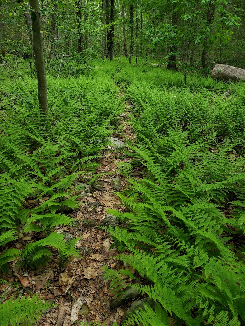
(March 27, 2021, 6:55 pm)The trail is a loop and is described as if walking in a counter-clockwise direction. From the trailhead, descend a short distance to the bottom of the slope and turn right (north) past a large beech tree with an unusual grafted branch. By looking to the left as you walk along you can see excellent views (especially in late fall, winter or early spring) of a rock ledge that runs more or less parallel with the trail and is on the other side of a low wet area. The forest composition in this narrow valley is quite diverse with beech, red and sugar maples, red, black, white and chestnut oaks, black and yellow birches, white ash and hickory.
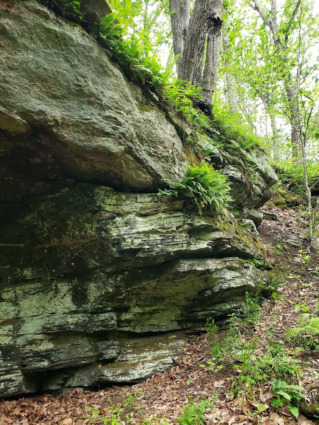
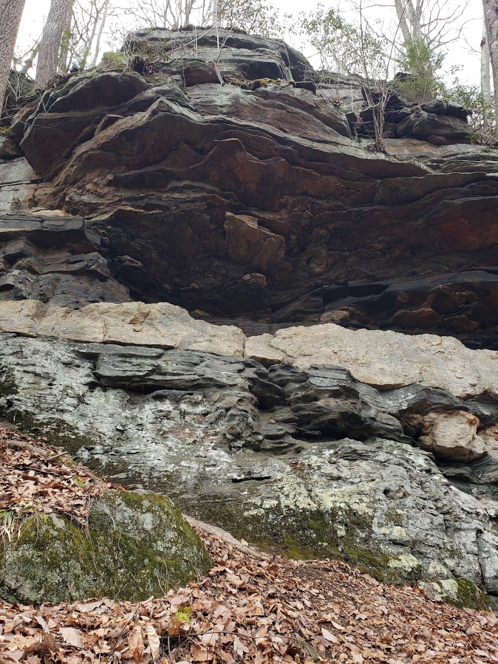
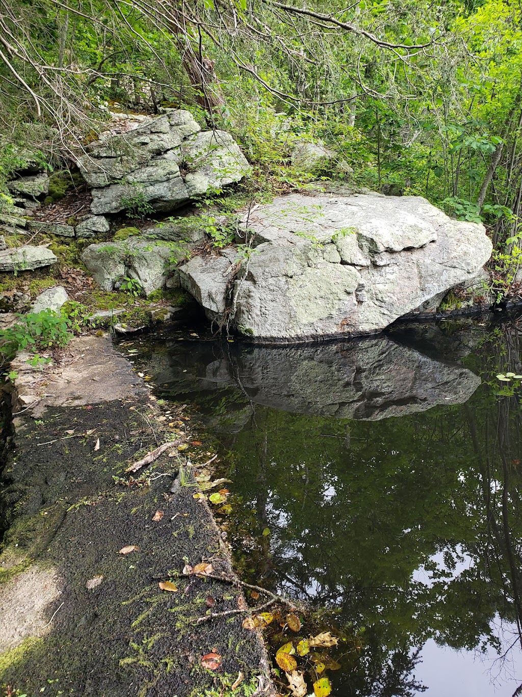
The trail passes over broken rocks of ancient granite, and just to the right of a large rock outcrop. Note the imbedded vein of white quartz. To the left, the valley floor now slopes noticeably downward and to the north. The trail eventually passes just to the left of and along a stone wall—the western boundary of Southern Regional Water Authority land. From this point, follow the trail as it leads gradually to the west and onto the ridge of a hogback and then descends, crossing a small stream (0.4 mile from the trailhead). This stream, flowing north into the Hammonassett River watershed, originates in a wetland perched above and behind the ledge face to the southwest.
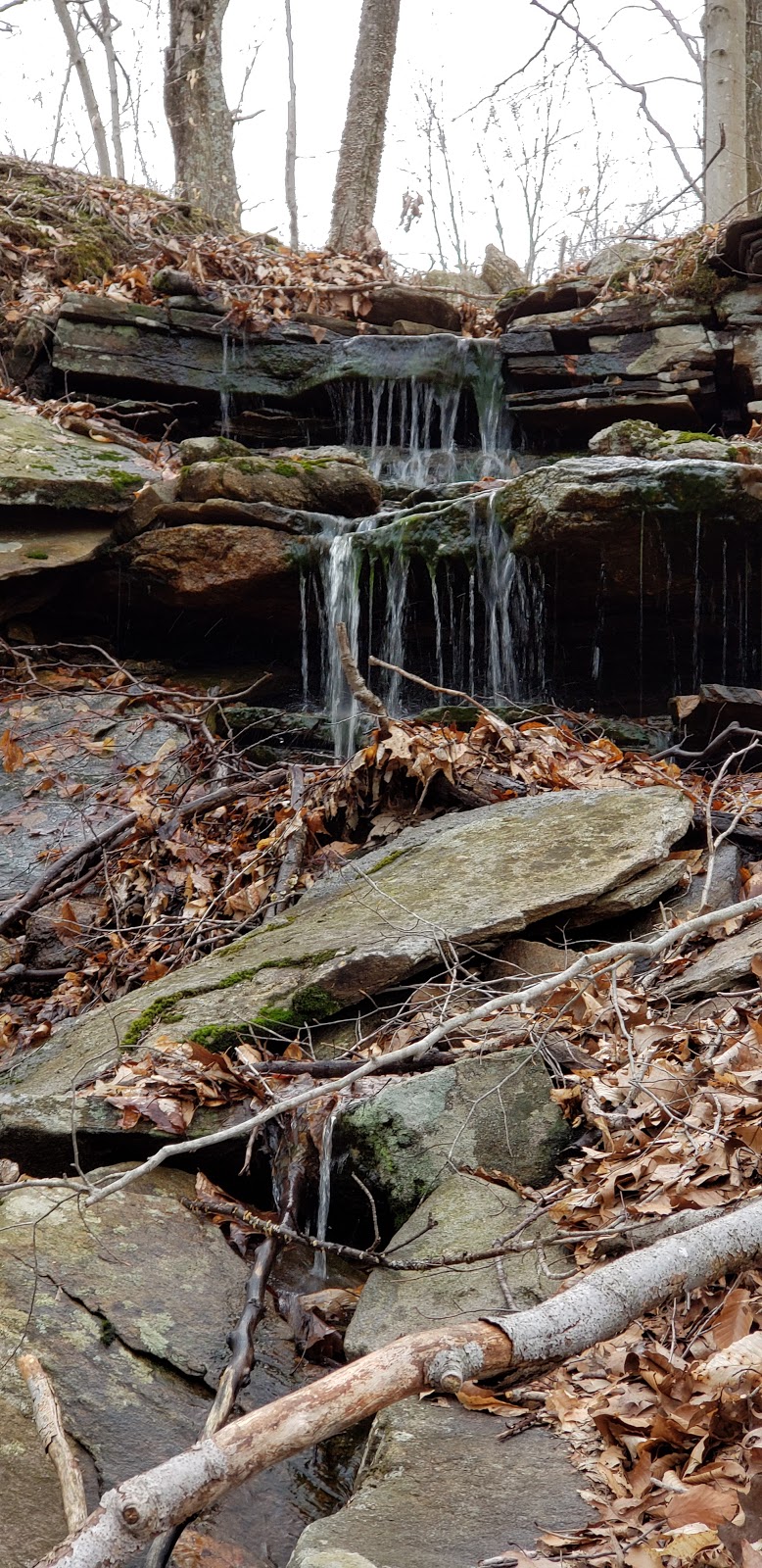
The trail now doubles sharply back southward (left) along the stream and close by the rock faces seen earlier. Soon it passes close to a magnificent Indian rock shelter (A). As a winter home for an Indian family, this shelter was probably ideal as it faces away from winter storms and is close by a good source of water. The trail soon crosses the stream near where it enters the valley. A series of small waterfalls often occurs where the stream tumbles down over rocks, and in the winter sometimes creates a beautiful cascade of ice falls and icicles.
Photos of Indian Rock Shelter Trailhead
Submit a review for Indian Rock Shelter Trailhead
- Be specific about your experience and the services that were provided.
- Be truthful - this review will help other consumers as well as the business.
- Be polite - give feedback in a constructive way.
Giumarro Real Estate
Recently viewed
Most Recent
- Scott M Ellis Elementary School [School]
- Greenville Elementary School [School]
- Town of Greenville Waste Water [Local government office]
- Joyce M. Zeitler - Attorney at Law [Lawyer]
- Greenville Laundromat [Laundry]
- The GroomsMan Barber Shop [Hair care]
- Ballroom Dancing [School]
- Natural Aesthetics by Linda, LLC [Spa]
- Catskill Valley Chiropractic: A Center For Wellness [Health]
- Willow Acupuncture [Health]